Amery ice shelf (Iceberg D28)

Antarctica

DATES: SEPTEMBER 2019 – JANUARY 2020  |  SATELLITE: SENTINEL 1  |  CATEGORY: RECEDING GLACIERS

Antarctica is a continent located at the far southern reaches of the globe whose entire surface is covered by ice and snow. Glaciers reach the sea and creep out over the ocean like an icy tongue. From time to time, the leading edge of the glaciers starts to melt from below, in the part which touches the sea, and a large section of this tongue of ice hangs over the sea until it collapses, thus producing what are known as icebergs. This phenomenon is not related to climate change and naturally occurs as part of the glaciers’ lifecycle. In the Amery ice shelf, this process occurs every 60 to 70 years and we have recently witnessed the latest episode.

In late September 2019, an iceberg about 1,600 square kilometres broke off from the Amery ice shelf, a platform of ice that extends over the Antarctic Ocean, and started heading out to sea. The last time this process occurred was in 1963 and since then scientists have been anxiously waiting for the next such event. This time, the immense iceberg occupied a surface area equivalent to the city of London and its path could be monitored by the satellites that orbit the Earth.

Amery ice shelf and D28 iceberg on September 13th (left) and November 24th (right) 2020.CC BY 4.0 Sentinel Hub EO Browser.

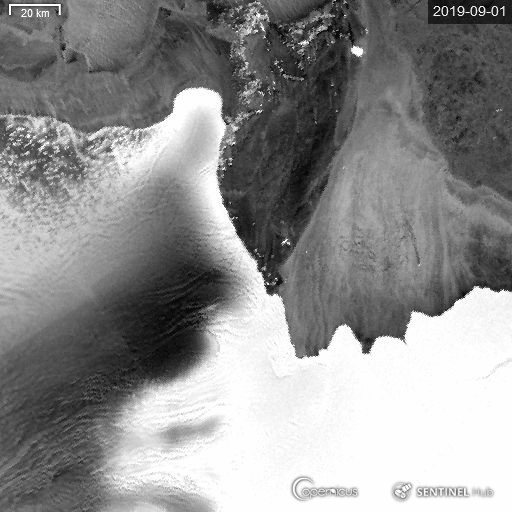
This animation has been created using the images from the Sentinel-1 satellite, which orbits the Earth equipped with radar that emits microwaves, calculating the value of each object that reflects this type of wave. When we talk about radar, we refer to the category of active sensors, and therefore ones that can obtain regular information, regardless of the atmospheric conditions. Sentinel-1, then, is the ideal instrument for monitoring the poles or mountains, which are the areas containing the planet’s glaciers, but also ones which tend to be cloaked by dense storms that hinder observation techniques using passive sensors.

Explore this story through the EO Browser.

Are you a teacher? Explore the Earth from your classroom. View the didactic guide which explains step-by-step how to work with satellite images in your classroom.